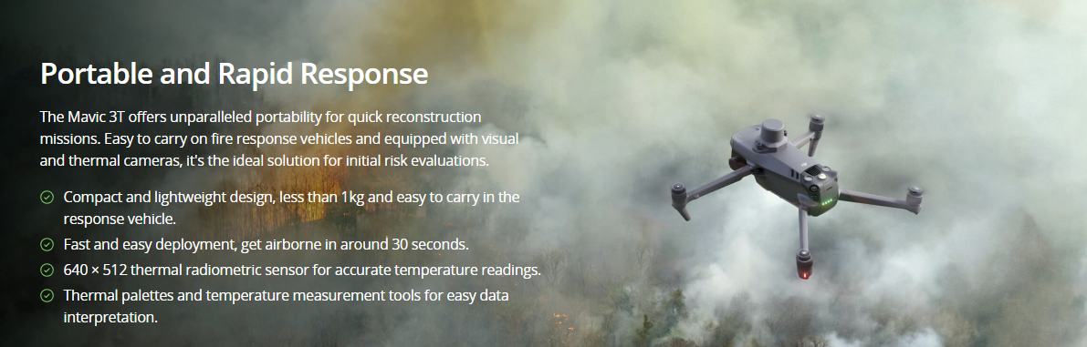
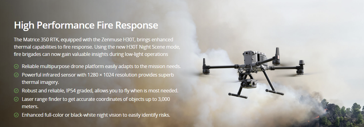
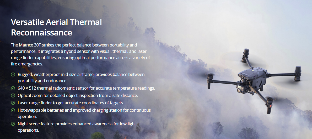
Wildfires

Enhance wildfire response by providing critical aerial information. Identify hotspots more accurately and improve responders' safety while aiding in the strategic deployment of resources.

Painpoints

  • The rapid expansion and unpredictability of wildfires complicate ground crews’ ability to evaluate the situation in real time and make accurate decisions.
  • Firefighters face significant risks due to their limited knowledge of the situation.
  • A lack of information makes it difficult for incident commanders to effectively deploy resources and track the effectiveness of mitigation efforts.

Advantages

  • Gain real-time aerial insights, enabling firefighters to make informed, strategic decisions amidst the chaos of wildfires.
  • Enhance personnel safety with advanced situational awareness, thereby reducing firefighters’ exposure to hidden dangers.
  • Collect critical data to optimize resource allocation and monitor the impact of firefighting strategies in real time.

Solution

Portable and Rapid Response

Drone Platform

DJI Mavic 3T
Weight: 920 g
Max Flight Time (no wind): 45 mins
Sensing type: Omnidirectional binocular vision system, supplemented with an infrared sensor at the bottom of the aircraft
Environment Adapbility: Max Take-off Altitude Above Sea Level 6000m; Max Wind Speed Resistance 12 m/s
Wide Camera: 1/2-inch CMOS, Effective pixels: 48 MP
Tele Camera: 1/2-inch CMOS, Effective pixels: 12 MP
Thermal Camera: Video Resolution 640×512@30Hz
Compatible with RTK module and DJI Cellular module

Payload And Software

DJI Pilot 2
Ground control
DJI Terra
Modeling and flight mission plan
DJI FlightHub 2
Drone and dock’s cloud management system

Workflow

  1. Mission Execution:
    – Fly manually over the affected area looking for hotspots. Switch between infrared and visual views to evaluate the situation.
    – Use the Link Zoom feature to zoom in simultaneously with thermal and visual sensor.
    – Select a suitable infrared palette and gain mode for the conditions at hand.
    – Use orbit flights to perform 360 circular flights around the structure, facilitating the risk evaluation.
  2. Post Mission Documentation:
    – Map the affected areas for post-incident reports and reforestation efforts.
High Performance Fire Response02
Versatile Aerial Thermal Reconnaissance

Contact us

If you wish to purchase products, please leave your contact information below. We will be in contact with you shortly.