
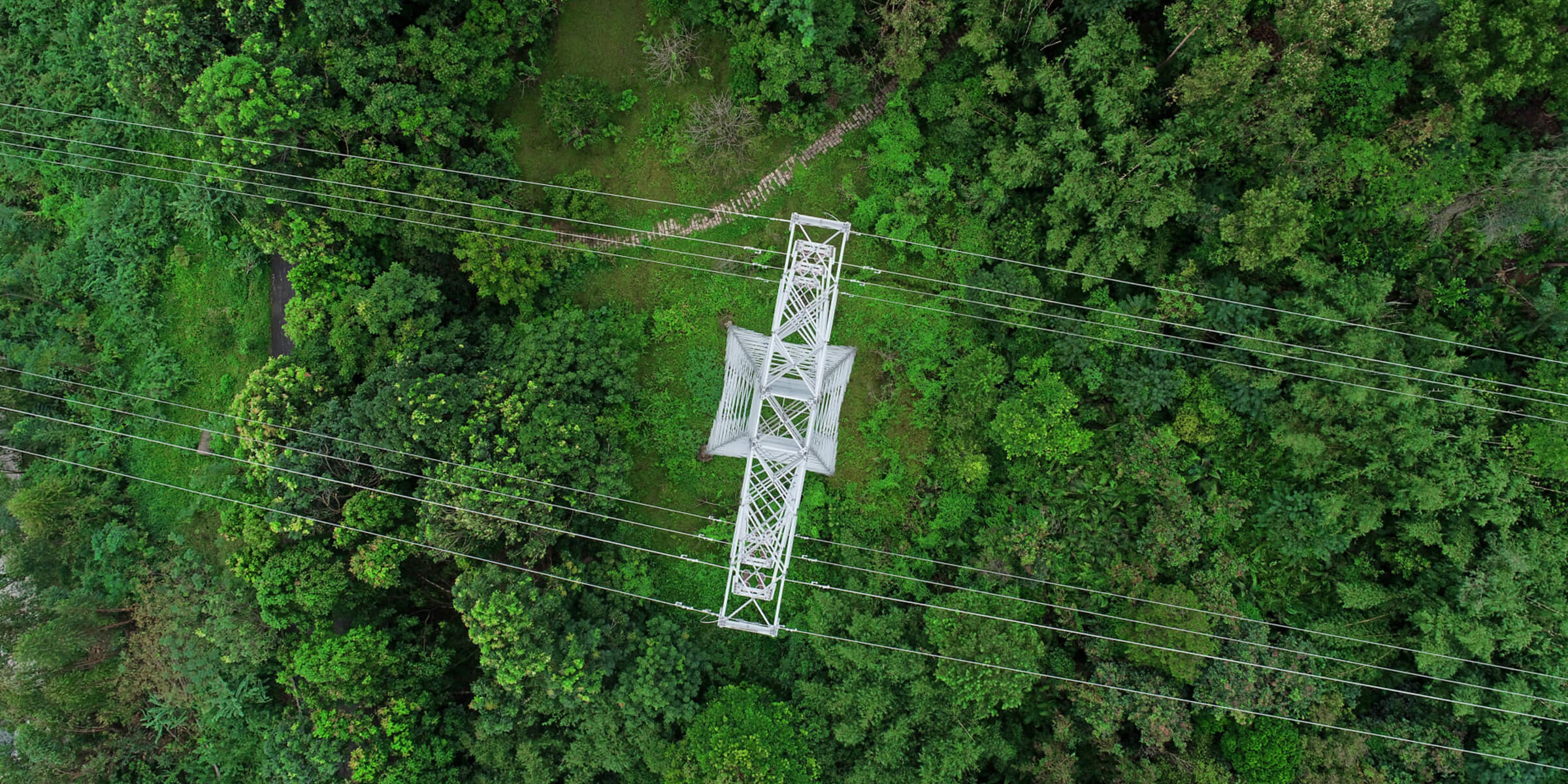
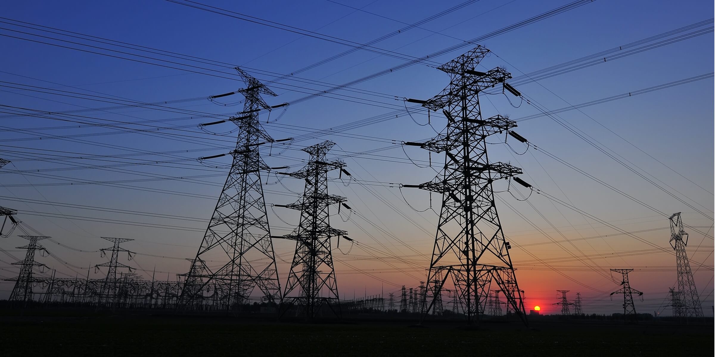
Power Grid Management
Drones solutions deliver detailed and accurate data on all parts of the grid, automating inspection, enabling timely repairs, and reducing downtime.
Vegetation Management
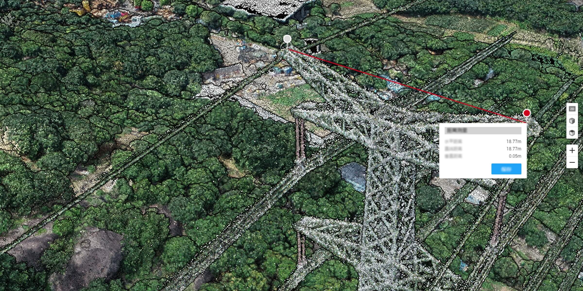
Quickly map power line corridors, creating accurate 2D and 3D models that measure the distance between vegetation and power lines, helping to maintain a safe clearance distance.
Asset Integrity Management
Conduct frequent, on-demand inspections to monitor the safety, reliability, and integrity of the power grid, improving efficiency and eliminating risks.
Detailed Inspection
Acquire standardized inspection data from automated drone inspections that identify defects accurately.
Thermal Inspection
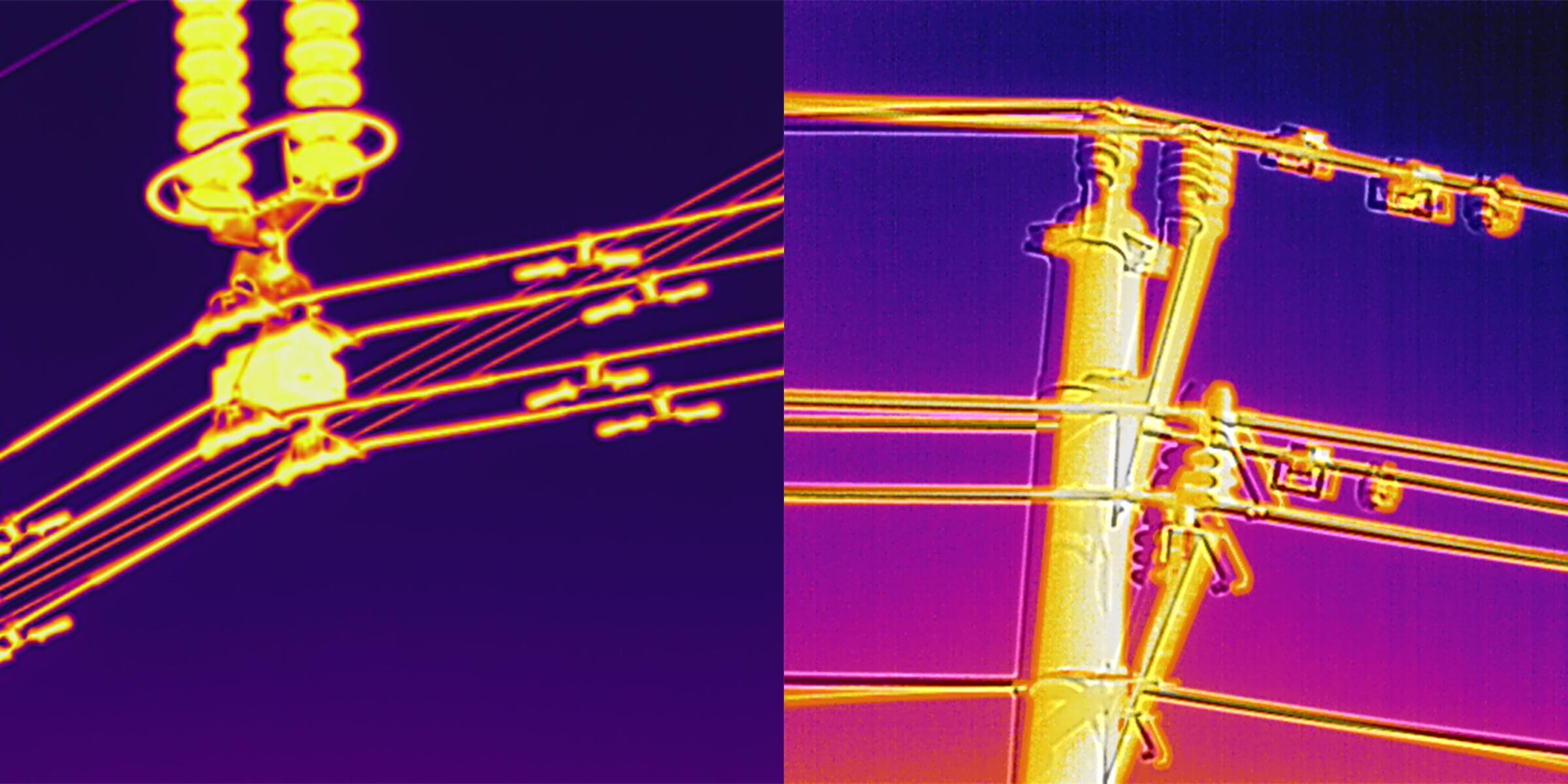
Gain real-time temperature readings of assets using drones equipped with radiometric thermal sensors to immediately identify abnormalities.
Fault Inspection
Capture the status of the asset from multiple angles using drones to reveal any faults or defects and address them in a timely manner.
Nighttime Inspection
Conduct inspections in lowlight conditions or at night using a drone equipped with a spotlight.
Vegetation Management
Traditional Challenges in Vegetation Management
Traditional methods that use manned aircraft are expensive and require specific locations for safe take-offs and landings.
In order to maintain a safe flying altitude, manned aircraft cannot follow the terrain closely, so it is difficult to accurately model corridors in mountainous areas.
It can take several days to get the final model, from flight route planning, execution, data export, to data processing.
How Drones Help Manage Vegetation
Drones are portable and affordable, and can be flexibly opearted in remote areas at a lower cost than manned aircraft.
Drones can be operated in complex terrains, with intelligent features that follow the terrain to ensure flight safety without compromising data accuracy. 3D models can be created in real-time for projects that have a tight deadline.
Related Products
Drone Platform
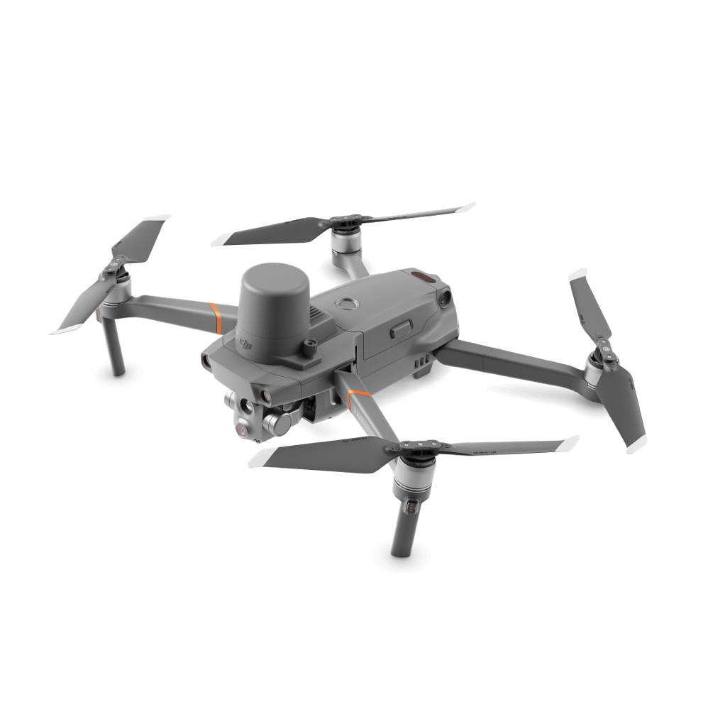
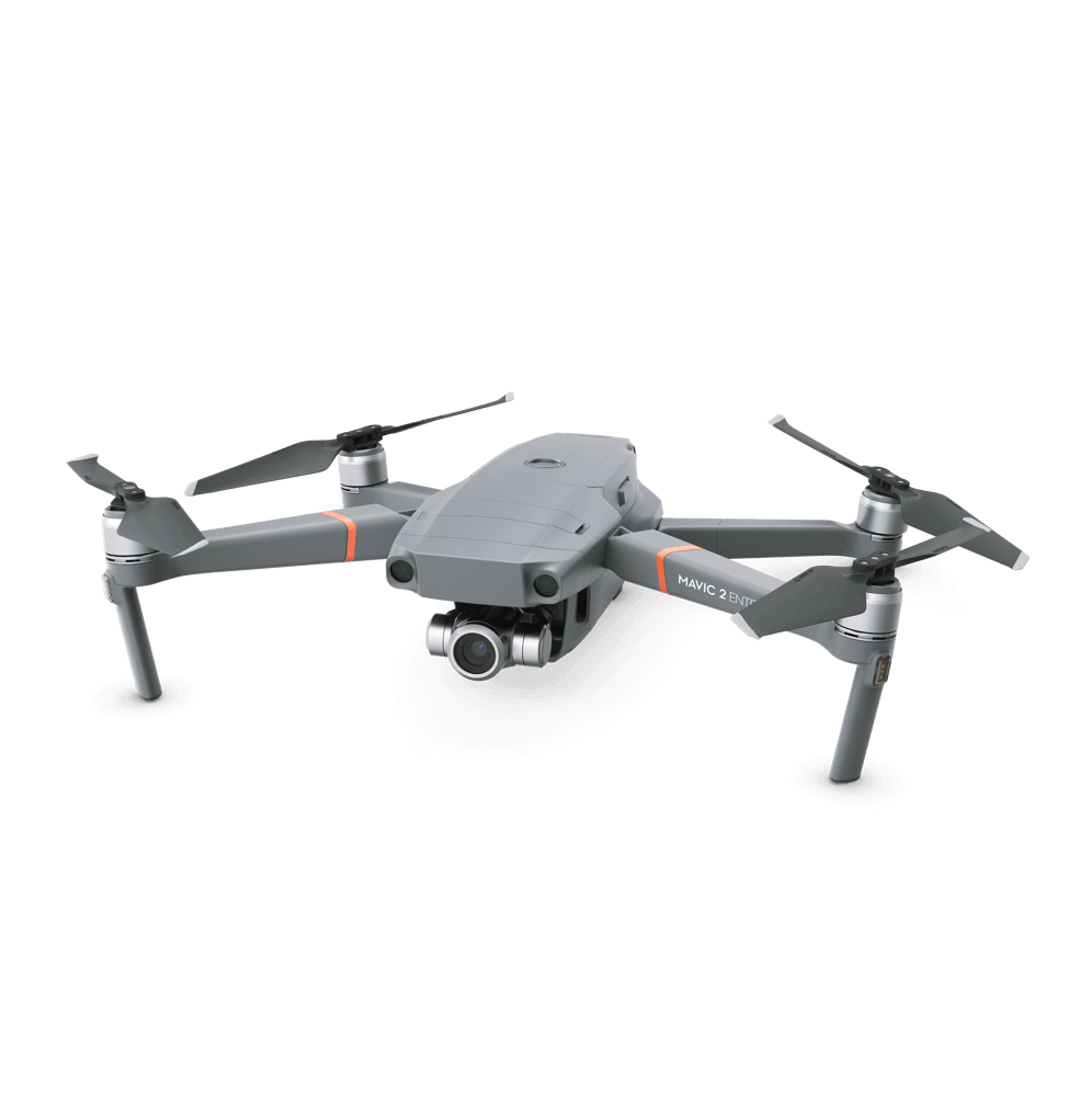
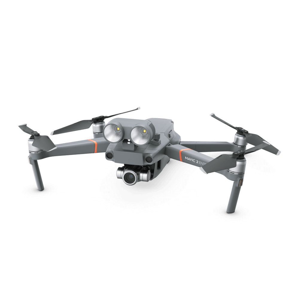
Mavic 2 Enterprise Advanced
With thermal and visual sensors, the M2EA supports 32× digital zoom and is capable of centimeter-level positioning accuracy with the RTK module.
Precision Mapping Solution
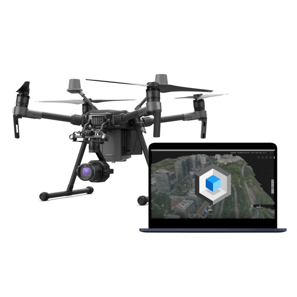
Matrice 210 RTK V2
Make sure no detail is overlooked when inspecting vertical assets with the high-resolution zoom camera.
Rapid Mapping Solution
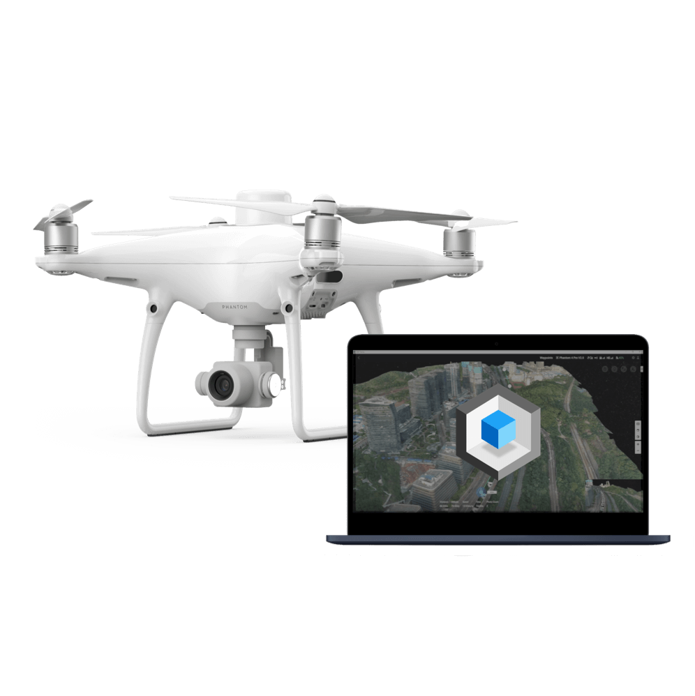
Phantom 4 RTK
Create 3D point clouds and detailed 3D models of assets using this centimeter-level accurate surveying solution.
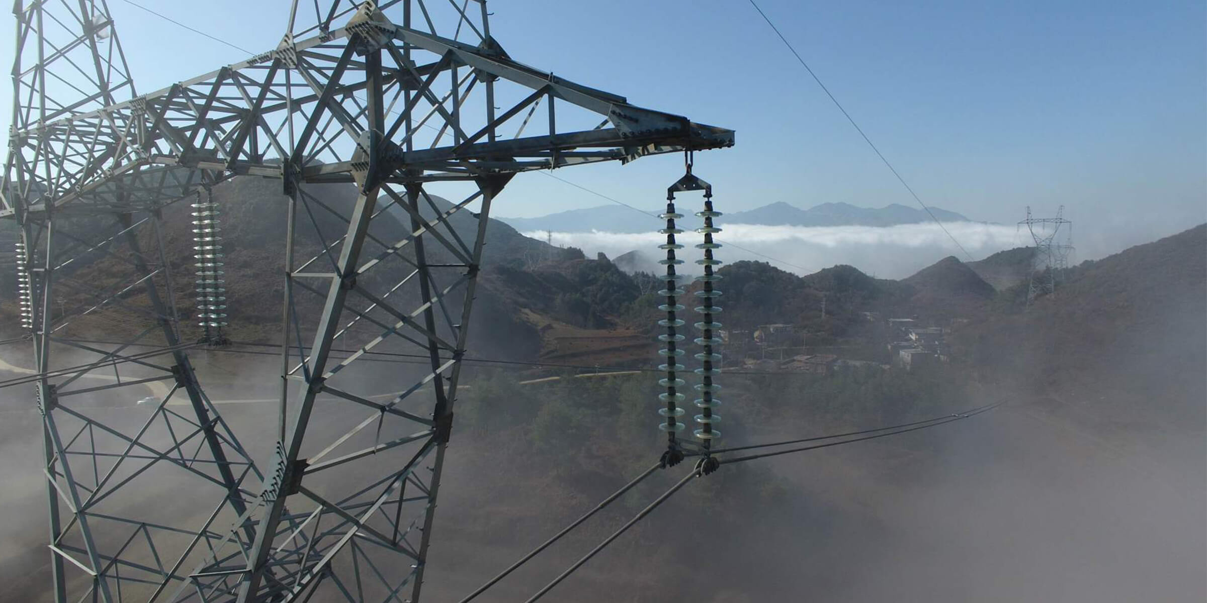
Asset Integrity Management
Traditional Challenges in Asset Integrity Management
Power grids often span across far distances, which can be hard to access and manual inspections can be time-consuming.
Defects of risks high up on the assets could be overlooked when observing from the ground only.
How Drones Help Manage Asset Integrity
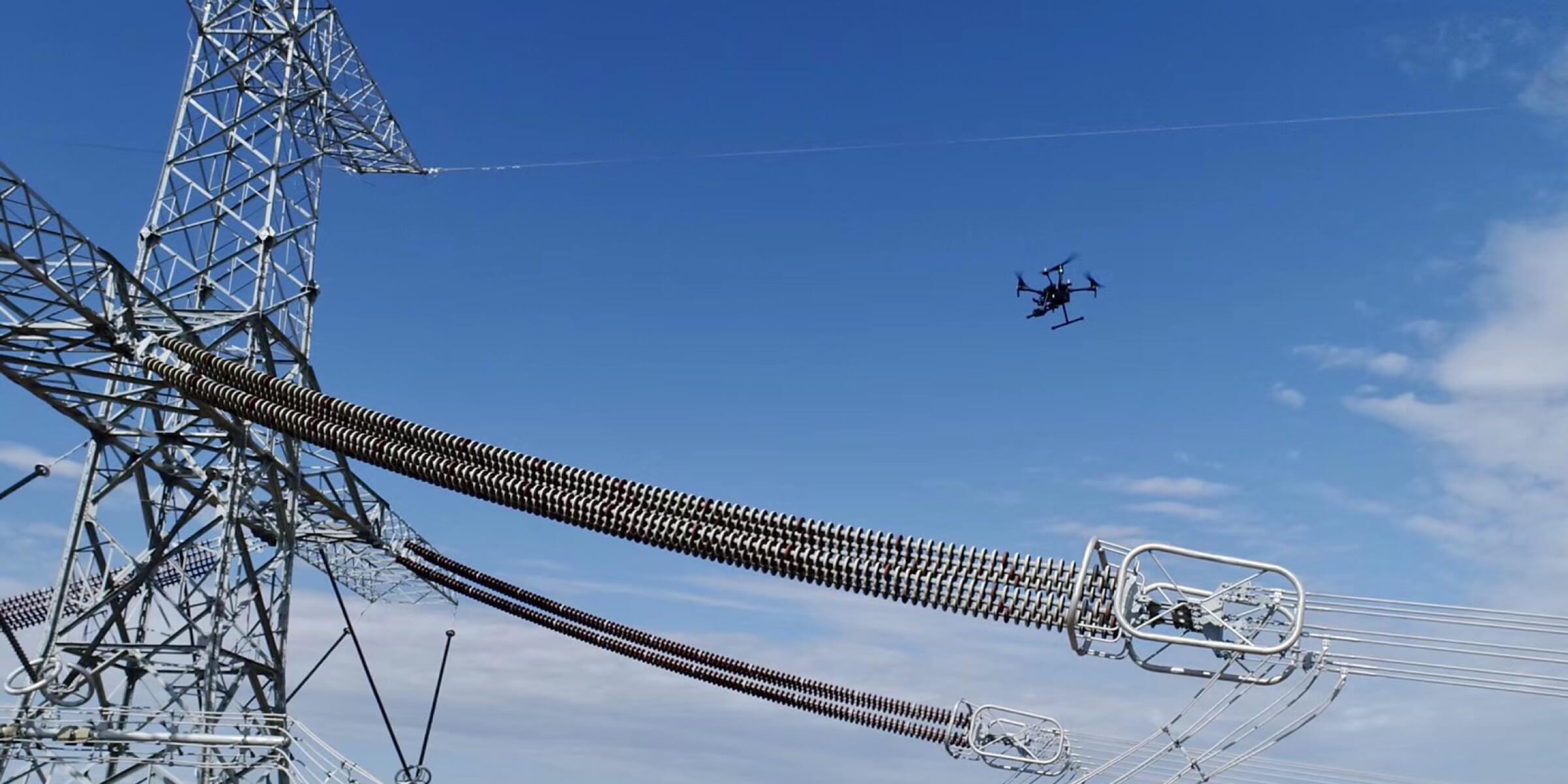
Drones can take off in minutes, covering large areas during each flight, delivering actionable insights efficiently.
Drones help identify risks on asset integrity and inform response action by providing close-up data as well as comprehensive overviews.
Drone Platform
Mavic 2 Enterprise Advanced
With thermal and visual sensors, the M2EA supports 32× digital zoom and is capable of centimeter-level positioning accuracy with the RTK module.
Versatile Platform
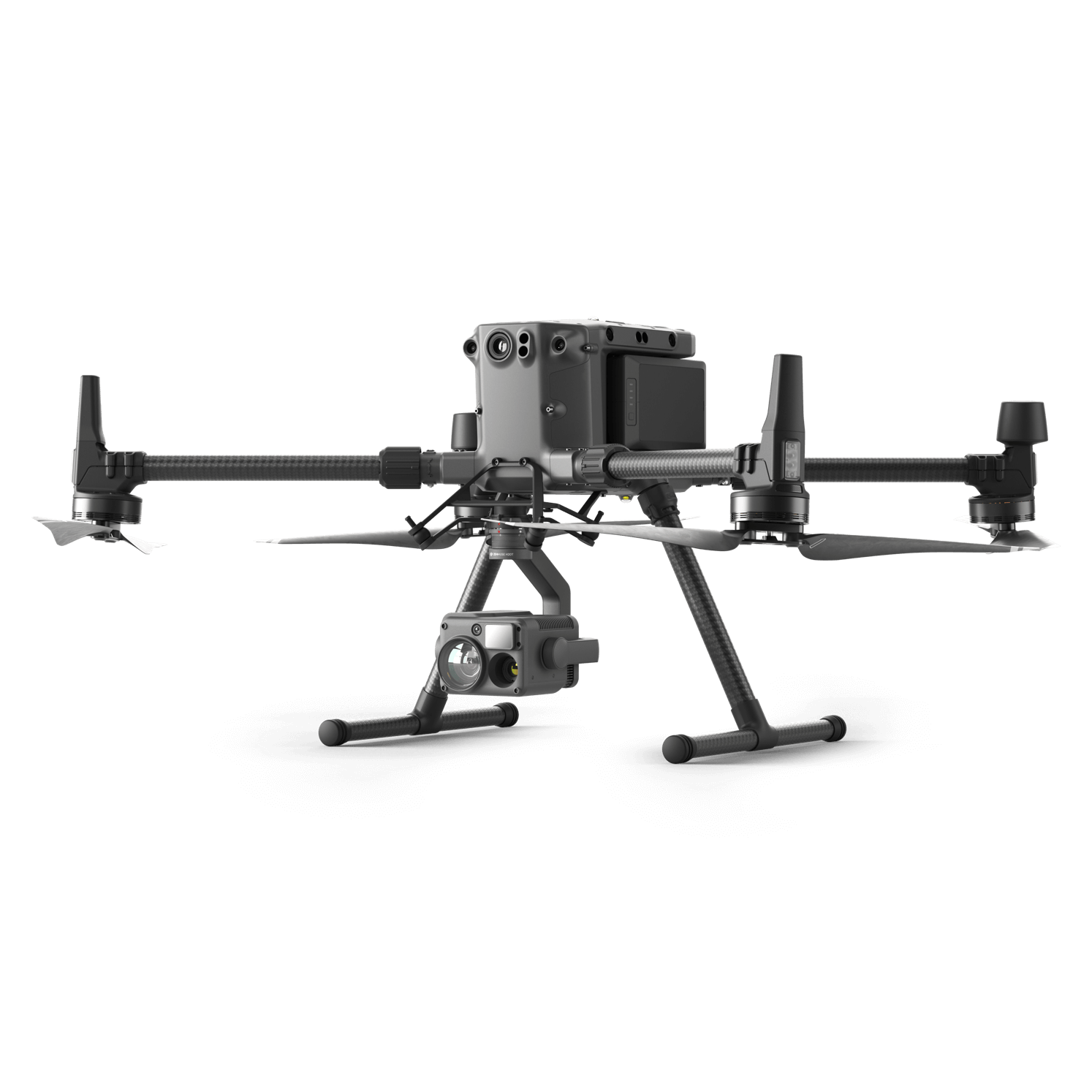
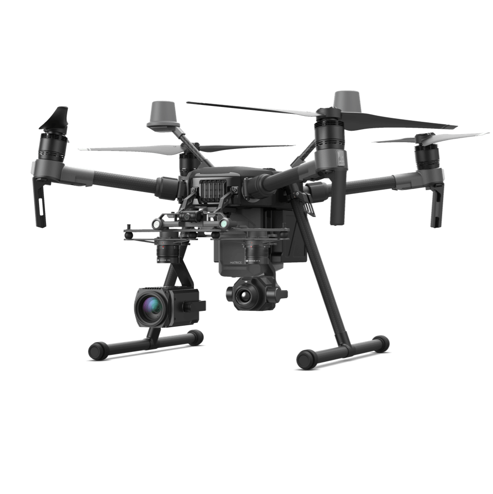
Matrice 300 RTK
A high-performance, rugged drone platform paired with a powerful hybrid camera to empower teams through a streamlined user experience and unparalleled efficiency – all while maintaining the highest standards for safety and reliability.
I am text block. Click edit button to change this text.
Quick Deployment Inspection Tool
Mavic 2 Enterprise Series
Unfold and deploy the portable drone equipped with a high-definition camera to inspect power lines.
Detailed Inspection
Traditional Challenges in Detailed Inspections
Inspection personnel need to examine and screen all the components of a pylon, which is demanding on the teams.
Traditional inspections are unable to produce structured, standardized data that can be used to automatically detect defects.
How Drones Conduct Detailed Inspection
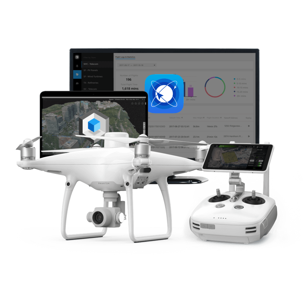
Automated flight routes can be set up to inspect high-rising assets, creating detailed 3D point clouds without risking the safety of human operators.
Drones are easy to operate, enabling inspection teams to get high-quality data with basic training, while standardizing data output and streamlining processes.
Inspection processes are closed-loop, ensuring data integrity.
Related Products
Drone Platform
Mavic 2 Enterprise Advanced
With thermal and visual sensors, the M2EA supports 32× digital zoom and is capable of centimeter-level positioning accuracy with the RTK module.
Versatile Platform
Matrice 300 RTK
A high-performance, rugged drone platform paired with a powerful hybrid camera to empower teams through a streamlined user experience and unparalleled efficiency – all while maintaining the highest standards for safety and reliability.
Rapid Mapping Solution
Phantom 4 RTK
Create 3D point clouds and detailed 3D models of assets using this centimeter-level accurate surveying solution.
Thermal Inspection
Traditional Challenges in Thermal Inspections
Thermal inspection equipment on the ground cannot give insight into the conditions of tall structures.
Helicopter-based thermal inspections are too expensive to be conducted at scale, and the long set-up time slows response efforts.
How Drones Conduct Thermal Inspection
Drones can capture the asset from multiple angles, and are easy to operate so that crucial details are not missed.
Drones are easy to operate, taking off in minutes and are not limited to strict set-up requirements, enabling timely responses.
Teams can get visual and real-time temperature readings on all parts of the assets to quickly identify issues and address them.
Related Products
Drone Platform
Mavic 2 Enterprise Advanced
With thermal and visual sensors, the M2EA supports 32× digital zoom and is capable of centimeter-level positioning accuracy with the RTK module.
Versatile Platform
Matrice 300 RTK
A high-performance, rugged drone platform paired with a powerful hybrid camera to empower teams through a streamlined user experience and unparalleled efficiency – all while maintaining the highest standards for safety and reliability.
Thermal Inspection Platform
Matrice 210 RTK V2
Oversee operations and identify threats using a high-sensitivity thermal sensor to effectively address risks.
Traditional Challenges in Fault Inspection
Serious faults often require immediate repairs, manual inspections can cause delays in repairs that result in losses.
Inspection personnel need to manually screen for faults, and can be limited by the accessibility of the asset and the tools that are available.
How Drones Conduct Fault Inspection
Drones provide an aerial perspective that captures critical information regardless of the environment, enabling teams to act quickly and minimizing losses.
Drones are easy to operate, taking off in minutes and are not limited to strict set-up requirements, letting teams accurately locate any faults.
Related Products
Drone Platform
Mavic 2 Enterprise Advanced
With thermal and visual sensors, the M2EA supports 32× digital zoom and is capable of centimeter-level positioning accuracy with the RTK module.
Versatile Platform
Matrice 300 RTK
A high-performance, rugged drone platform paired with a powerful hybrid camera to empower teams through a streamlined user experience and unparalleled efficiency – all while maintaining the highest standards for safety and reliability.
Portable Inspection Tool
Mavic 2 Enterprise Series
Unfold and deploy the portable drone equipped with a high-definition camera to inspect power lines.
Nighttime Inspection
Traditional Challenges in Nighttime Inspection
Inspections often cannot take place in low-visibility situations, and personnel could be exposed to greater risks when inspecting at night.
How Drones Conduct Nighttime Inspection
Drones equipped with spotlights and thermal sensors can identify risks even in lowlight conditions or at night.
Related Products
Drone Platform
Mavic 2 Enterprise Advanced
With thermal and visual sensors, the M2EA supports 32× digital zoom and is capable of centimeter-level positioning accuracy with the RTK module.
Low-Light Inspection Platform
Matrice 300 RTK
Conduct nighttime, detailed inspections of vertical assets with the high-resolution hybrid camera and bright spotlight.
Low-Light Inspection Tool
Mavic 2 Enterprise Series
Unfold and deploy the portable drone equipped with a high-definition camera and spotlight to inspect power lines at night.
Contact us
If you wish to purchase products, please leave your contact information below. We will be in contact with you shortly.