
Construction Management
Drone solutions help manage every step of the construction process to moniter progress, reduce risks, and keep personnel safe.
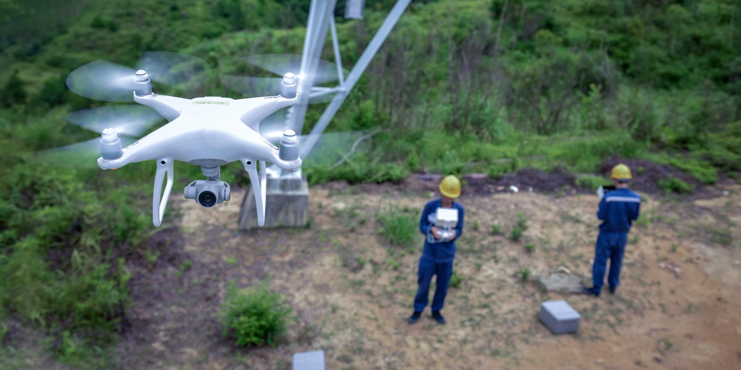
Progress Monitoring
Drone solutions, along with image stitching and 3D modeling software help teams stay fully informed on site progress and resource allocation – keeping projects on time and on track.
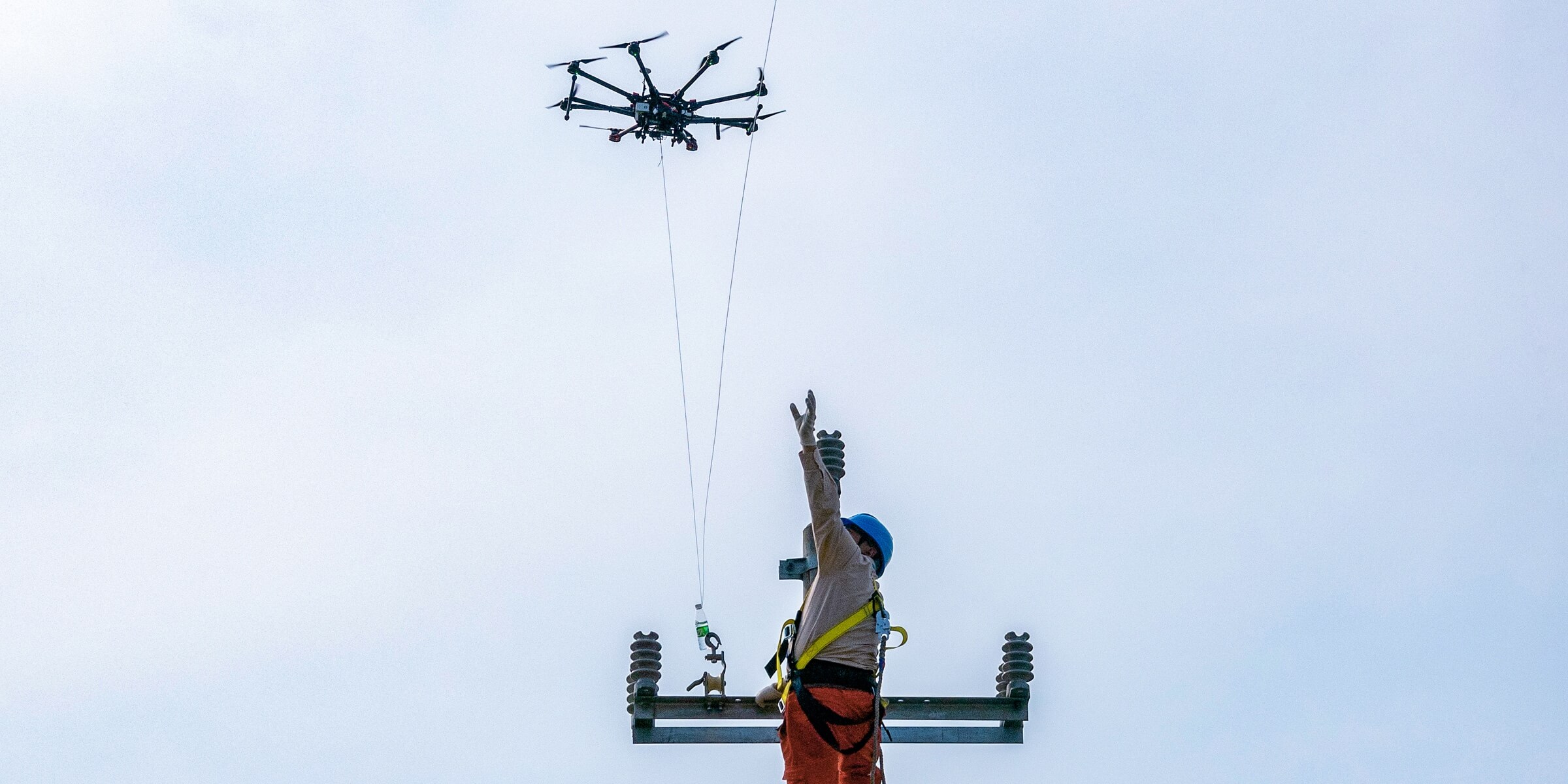
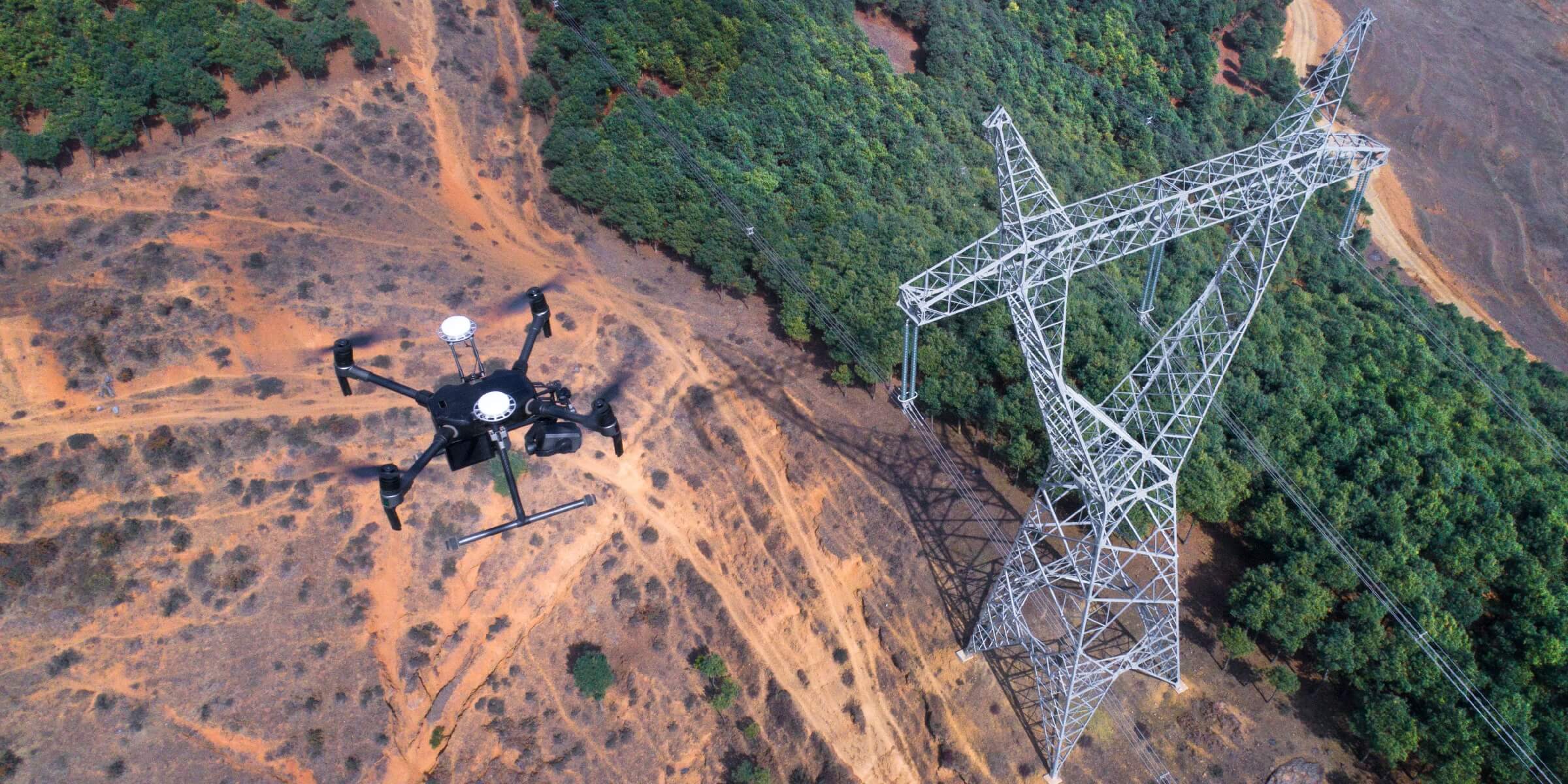
Overhead Power Line Stringing
Heavy-lifter drones can carry cables to string power lines through complex geographies such as valleys or rivers.
Progress Monitoring
Drone solutions, along with image stitching and 3D modeling software help teams stay fully informed on site progress and resource allocation – keeping projects on time and on track.
Overhead Power Line Stringing
Heavy-lifter drones can carry cables to string power lines through complex geographies such as valleys or rivers.
Traditional Challenges in Progress Monitoring
It is difficult to keep track of power line construction projects as they are often spread out, involving many teams.
Construction managers are unable to properly coordinate teams and ensure timely information delivery due to the physical distance between the site and the command center.
Fixed cameras onsite are unable to cover the entire site in detail, failing to capture critical progress information while creating many files that can be difficult to sort through.
Manually measuring construction earthwork is inefficient, producing results with low accuracy.
How Drones Help Monitor Progress
Drones provide complete site overviews and deliver accurate data on-demand, keeping personnel safe while improving efficiency throughout the project life cycle.
Drones are compact yet powerful, taking minutes to set up and can live stream footage back to the command center using DJI FlightHub, enabling timely information delivery and coordinated decision making.
Drone measurement data on earthwork and materials help accurately estimate workload and update project progress.
Related Products
Rapid Mapping Solution
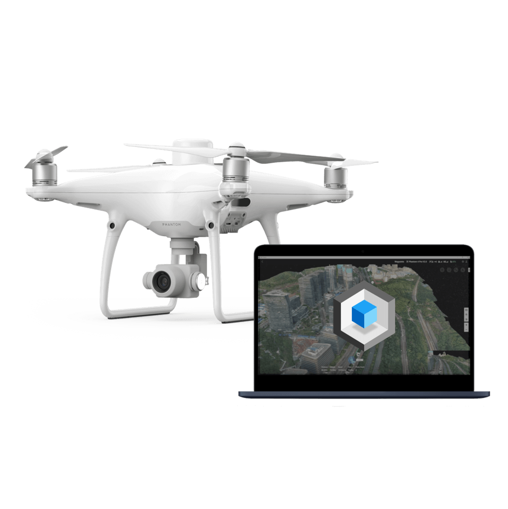
Phantom 4 RTK
An intuitive surveying solution that captures centimeter-level accurate data and creates georeferenced 2D maps and 3D models.

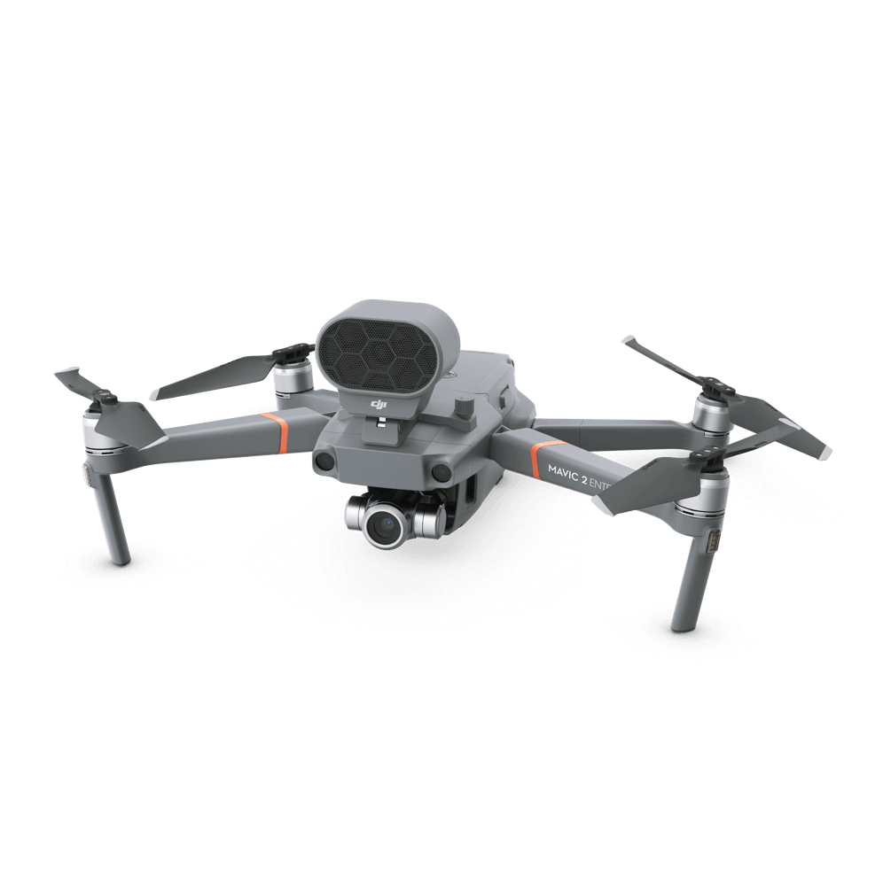
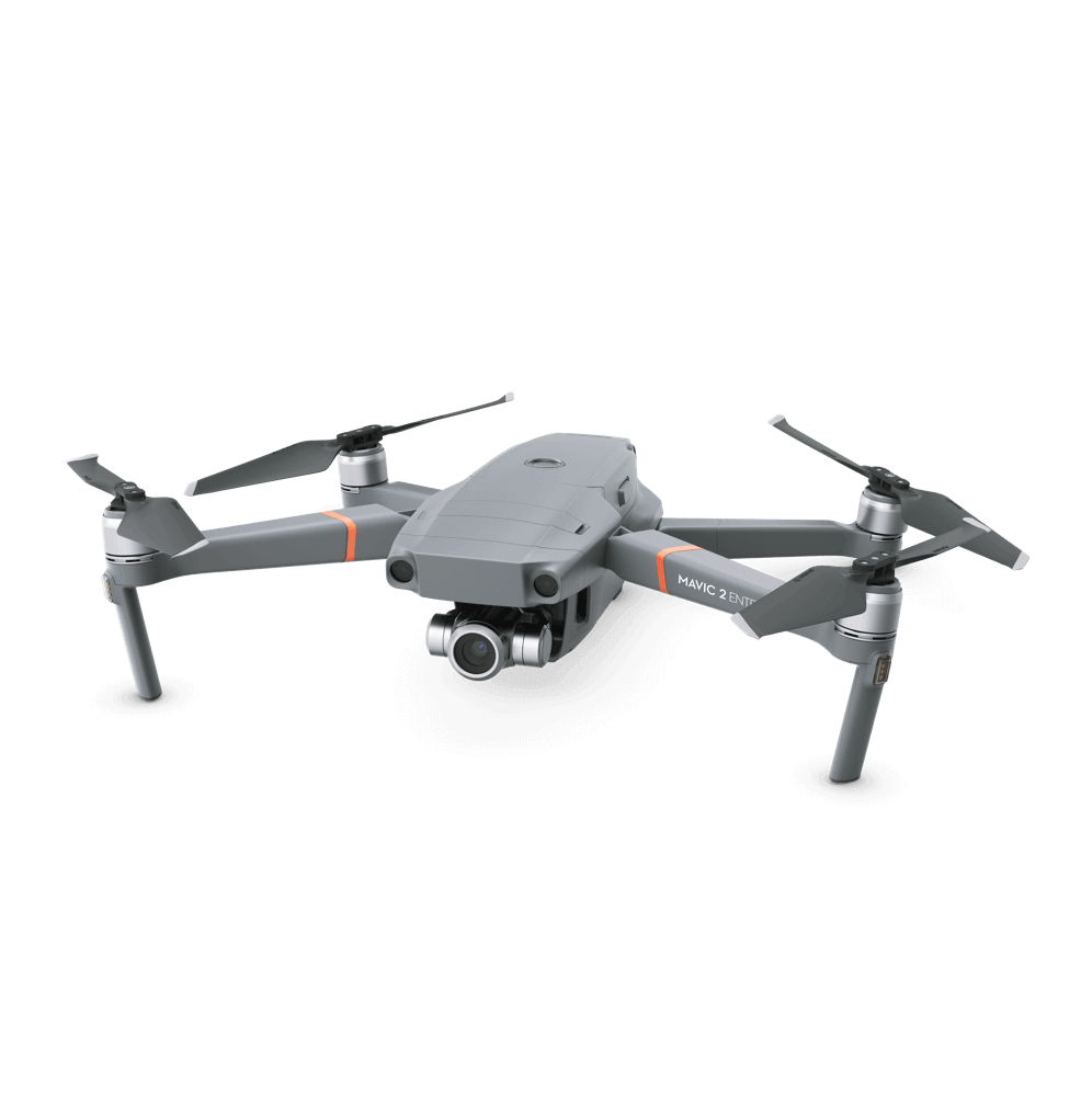
Portable Mapping Tool
Mavic 2 Enterprise
An ultra-portable enterprise drone platform that deploys quickly and sends live video feeds back to the command center.
Overhead Power Line Stringing
Traditional Challenges in Stringing Overhead Power Lines
Setting up cables manually across rugged terrains like rivers and valleys can be challenging, dangerous, and time-consuming.
Helicopters can be used, although it is expensive, has restrictions on take-off locations, and can be dangerous to the operator
How Drones String Power Lines
Drones can carry and string power lines across mountain ranges and rivers, while being able to take off and land in flexible locations and operate in high-altitude locations.
Drones can be controlled to operate precisely while following a set flight route through obstacles, enhancing flexibility and operational safety.
Drones are efficient and cost-effective, especially for remote regions.
Related Products
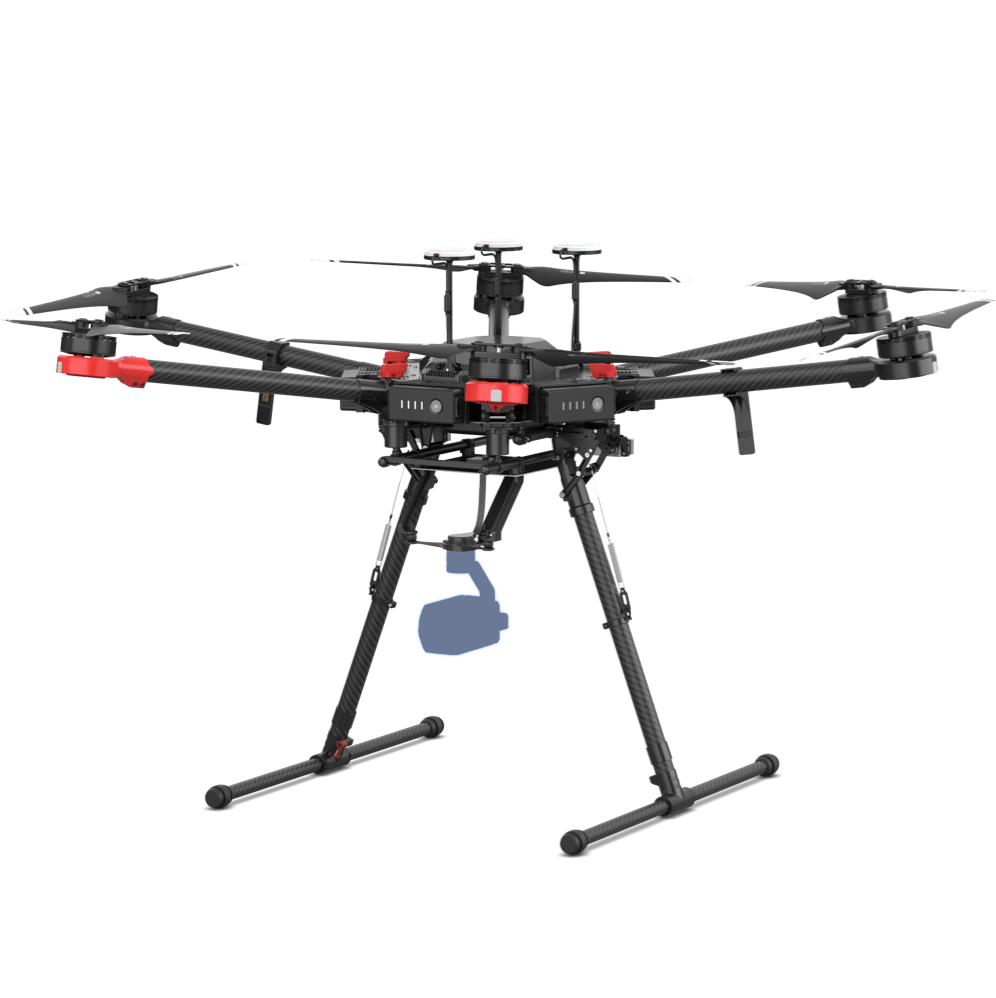
Heavy Lifting Solution
Matrice 600 Pro
Fly this heavy-lifter drone platform equipped with a special payload across different geographies to string power lines.
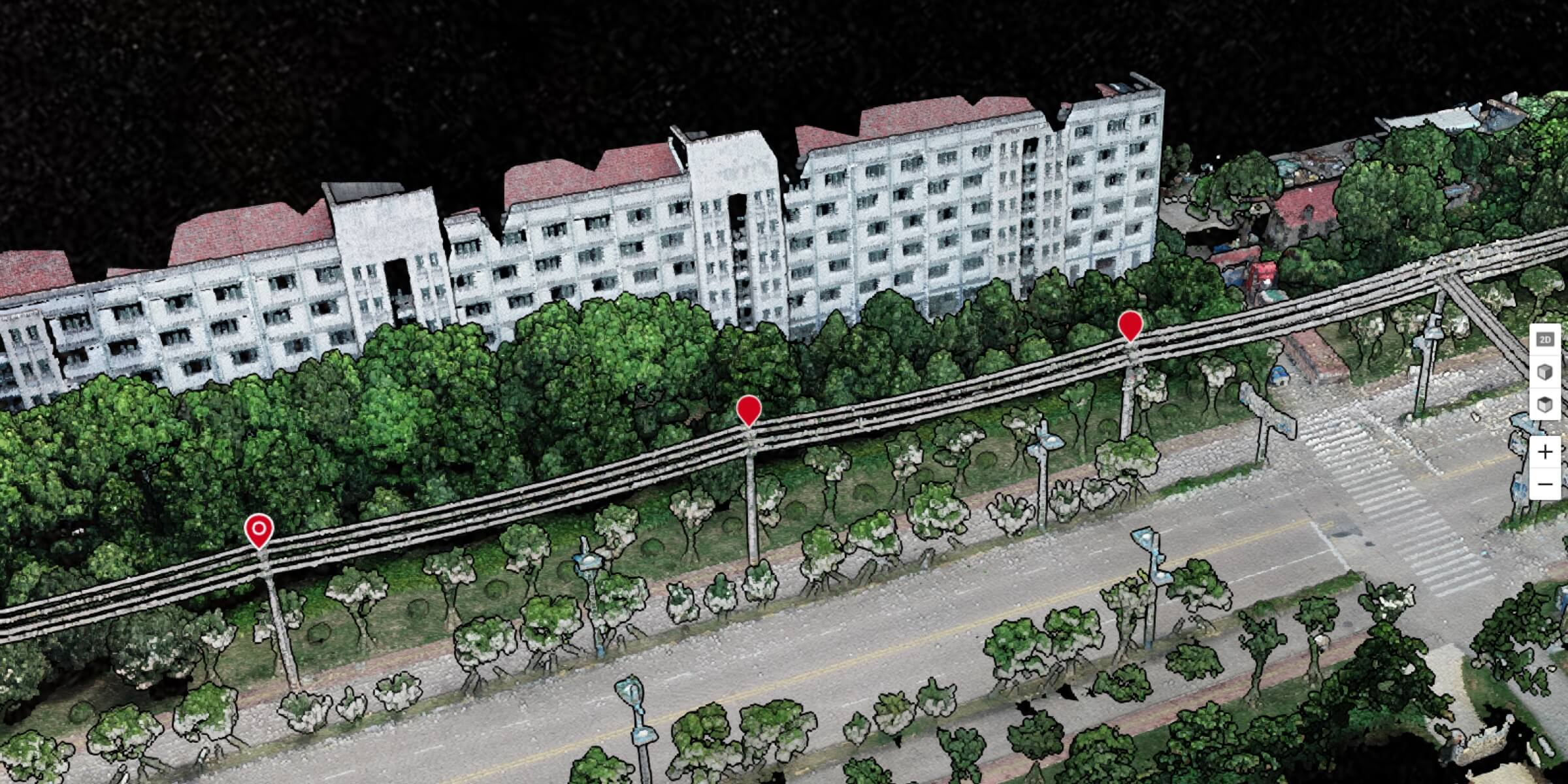
As Built Condition
Traditional Challenges in As Built Plans
Verifying project details sometimes requires personnel to climb up pylons, which can be dangerous and time-consuming.
Without climbing onto the actual pylons, it can be hard to verify that all project requirements have been met based on ground observations alone.
Documentation done by different team members are not consolidated or even digitized, making it difficult to compile feedback or proceed to acceptance.
How Drones Enhance As Built Plans
Drones deliver complete inspection data on structures like transmission towers, covering multiple angles without missing any details.
Drones can be deployed quickly, saving time and labor while keeping personnel safe.
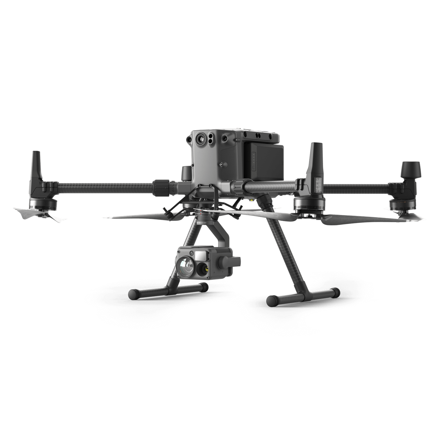
Versatile Platform
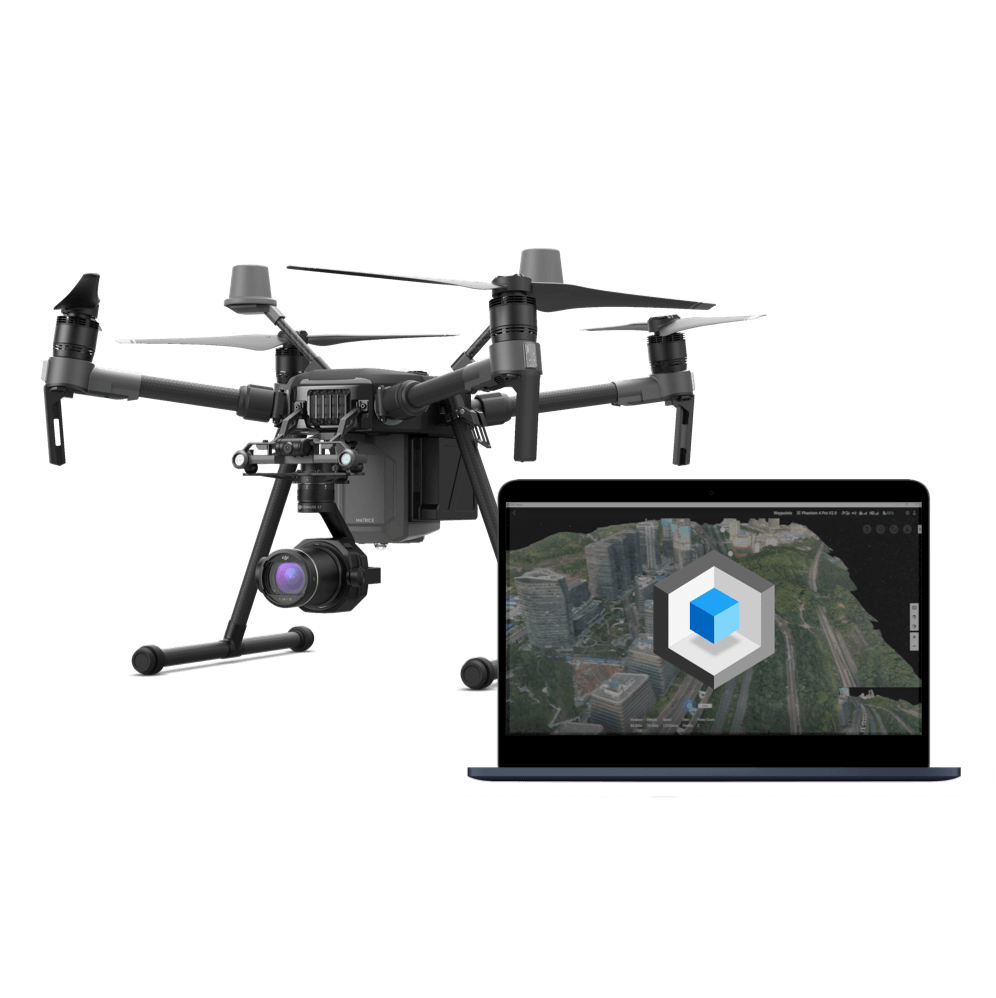
Matrice 300 RTK
A high-performance, rugged drone platform paired with a powerful hybrid camera to empower teams through a streamlined user experience and unparalleled efficiency – all while maintaining the highest standards for safety and reliability.
Rapid Mapping Solution
Phantom 4 RTK
An intuitive surveying solution that captures centimeter-level accurate data and creates detailed 2D and 3D models.

Quick Deployment Solution
Mavic 2 Enterprise Series
An ultra-portable enterprise drone platform that deploys quickly and sends live video feeds back to the command center.
Asset Digitization
Traditional Challenges in Digitizing Assets
Traditional surveying equipment can be bulky, expensive, and difficult to maneuver in remote areas.
The learning curve on traditional surveying equipment is steep. Professionals are often hired to operate and analyze data, incurring additional costs.
How Drones Digitize Assets
Drones are portable and flexible, and can be opearted in remote areas such as in the mountains or in forests.
Drones are a lot more affordable than traditional surveying equipment, while being easier to operate and extract useful insights.
Drone data can be used to build survey-grade 2D and 3D models, providing crucial data for automated inspections and more.
Related Products
Versatile Platform
Phantom 4 RTK
Create accurate digital versions of assets using this centimeter-level accurate surveying solution.
I am text block. Click edit button to change this text.
Versatile Platform
Matrice 210 RTK V2
Survey-grade data collected using the rugged drone platform and high-resolution sensor can be used to create detailed models.
Contact us
If you wish to purchase products, please leave your contact information below. We will be in contact with you shortly.