
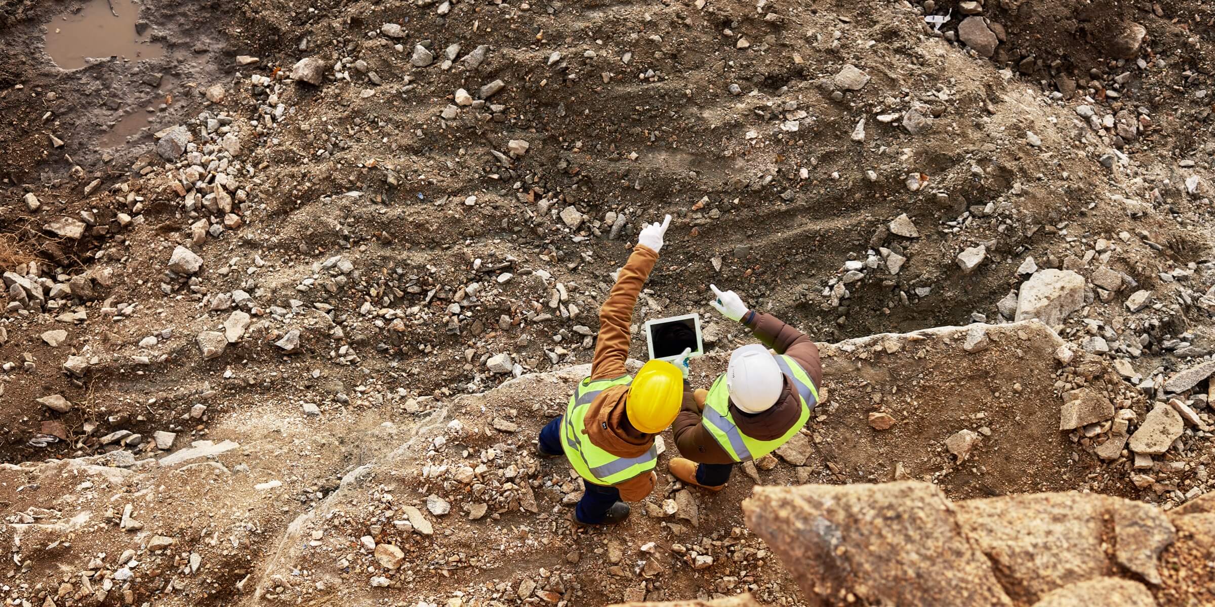
Exploration and Construction Management
Far far away, behind the word mountains, far from the countries Vokalia and Consonantia, there live the blind texts. Separated they live in Bookmarksgrove right at the coast.
Construction Planning and Design
Map large work sites to acquire detailed, precise data using drones. 2D maps and 3D models help teams optimize project planning and designs.
Progress Monitoring
Drone solutions, along with image stitching and 3D modeling software help teams stay fully informed on site progress and resource allocation – keeping projects on time and on track.
Data Collection
Collect accurate data covering large areas using a variety of sensors and software.
Construction Planning and Design

Traditional Challenges in Construction Planning and Design
The lack of precise position data makes it difficult to align BIM designs, road vector maps, and satellite imagery, costing time and labor.
2D designs are unable to illustrate the spatial information required to fully visualize the design.
The BIM designs can be quite different from the reality model, making it difficult to visualize and verify the design.
How Drones Empower Construction Planning and Design
Create 3D models with accurate positioning data that can be readily fitted into the BIM models to visualize designs.
Designs can be optimized using drone-created 3D models that are compatible with a variety of GIS software.
Related Products
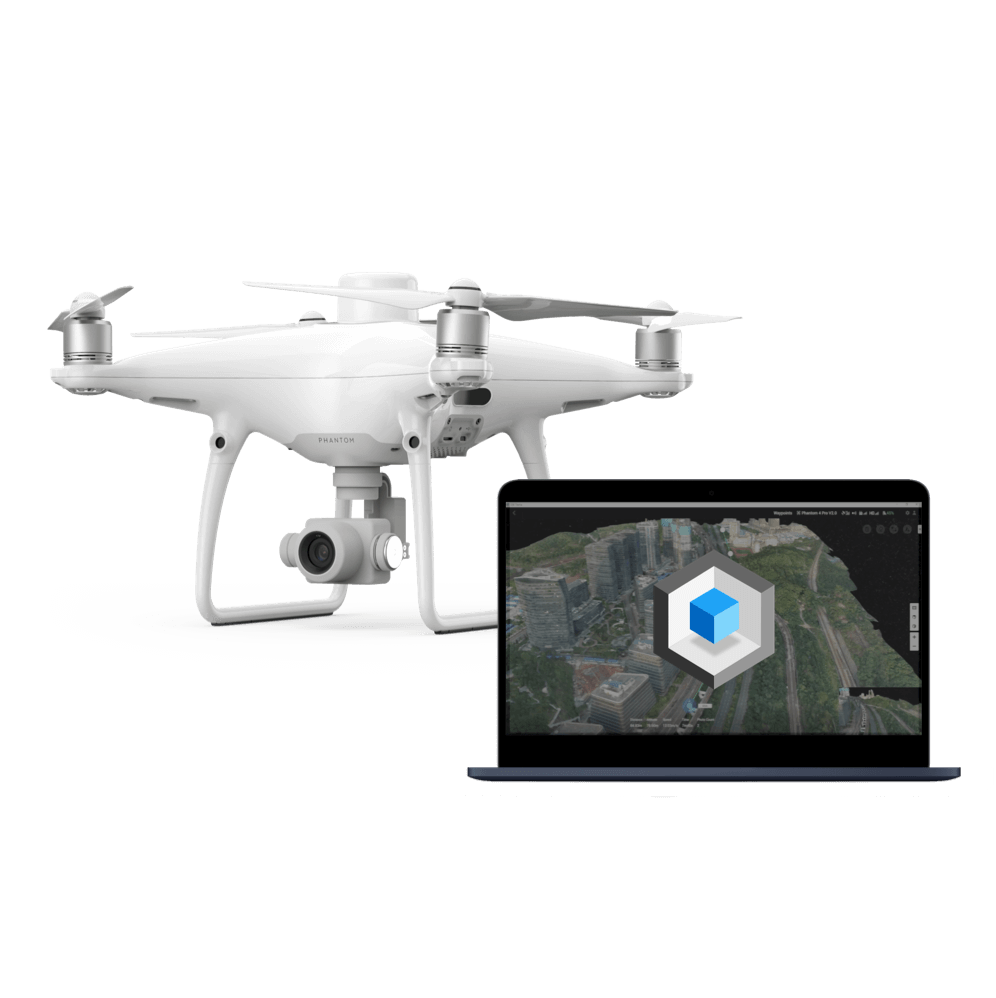
Rapid Mapping Solution
Phantom 4 RTK
An intuitive surveying solution that captures centimeter-level accurate data and creates detailed 2D and 3D models.

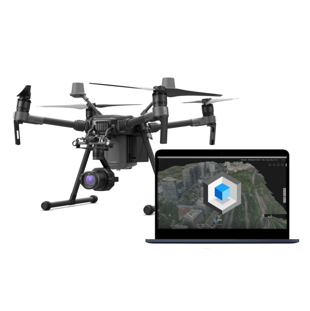
High-Resolution Mapping Platform
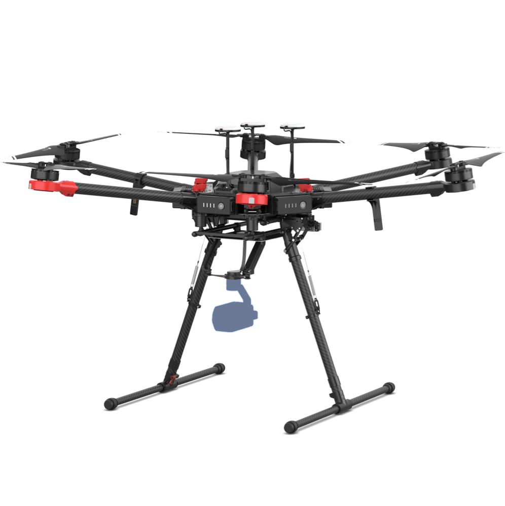
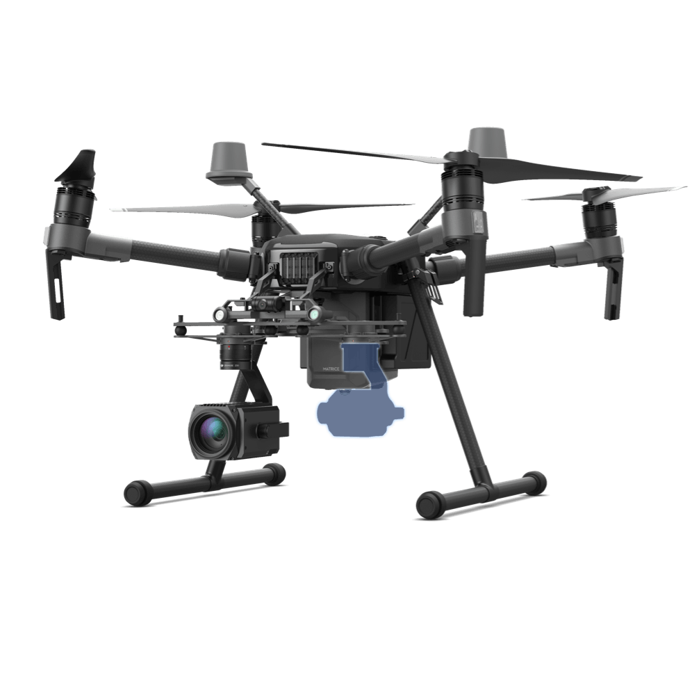
Matrice 210 RTK V2
Survey-grade data collected using the rugged drone platform and high-resolution sensor can be used to create detailed models.
Progress Monitoring

Traditional Challenges in Progress Monitoring
It is difficult to keep track of oil and gas facility construction projects as are often spread out, involving many teams.
Fixed cameras onsite are unable to cover the entire site in detail, failing to capture critical progress information.
Large quantities of video footage can drown out critical details, making it difficult to track specific areas of the project
How Drones Help Monitor Progress
Drones can create accurate 2D maps and 3D models of the site on-demand.
3D models can be used to track dynamic changes or day by day progress.
Related Products
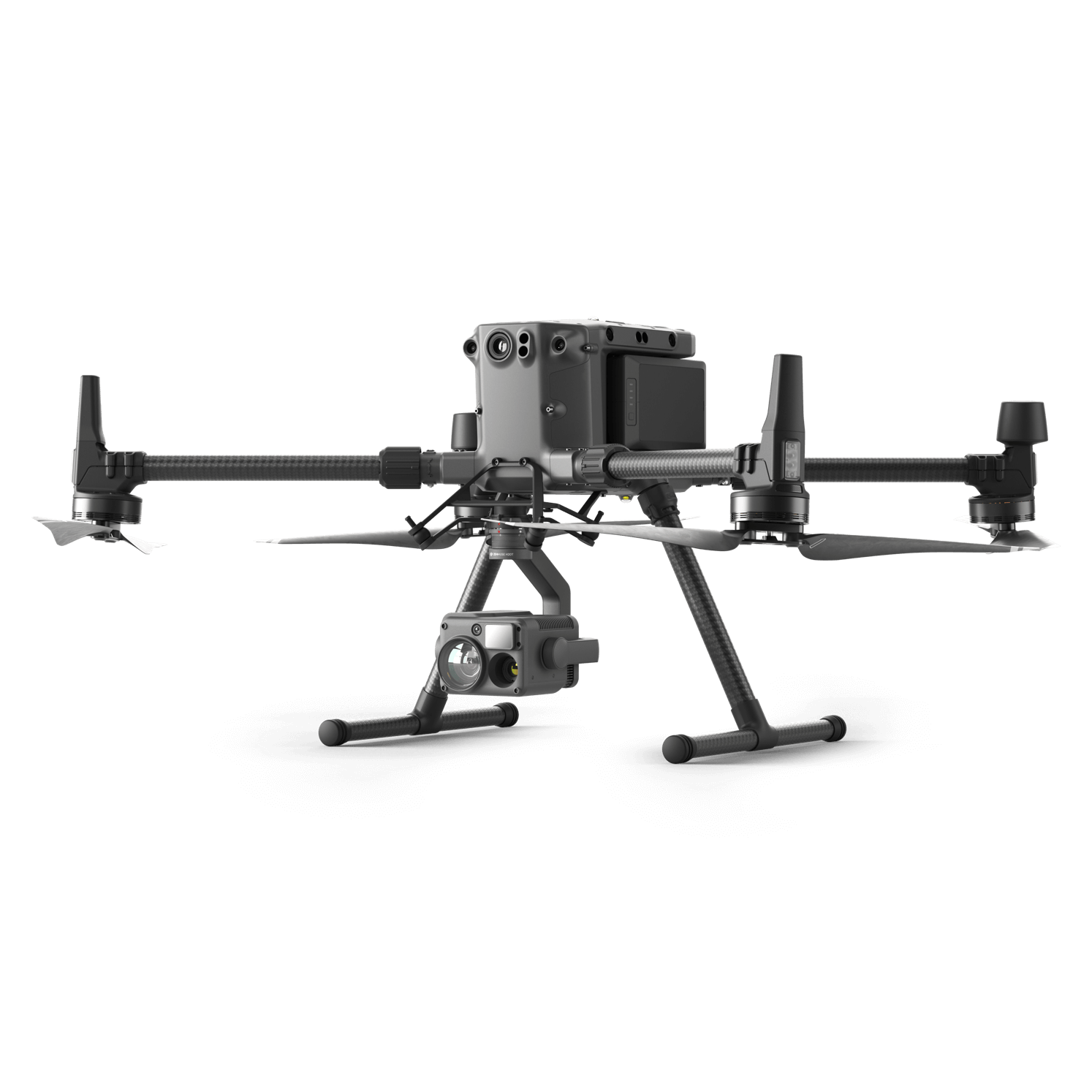
Versatile Platform
Matrice 300 RTK
A high-performance, rugged drone platform paired with a powerful hybrid camera to empower teams through a streamlined user experience and unparalleled efficiency – all while maintaining the highest standards for safety and reliability.
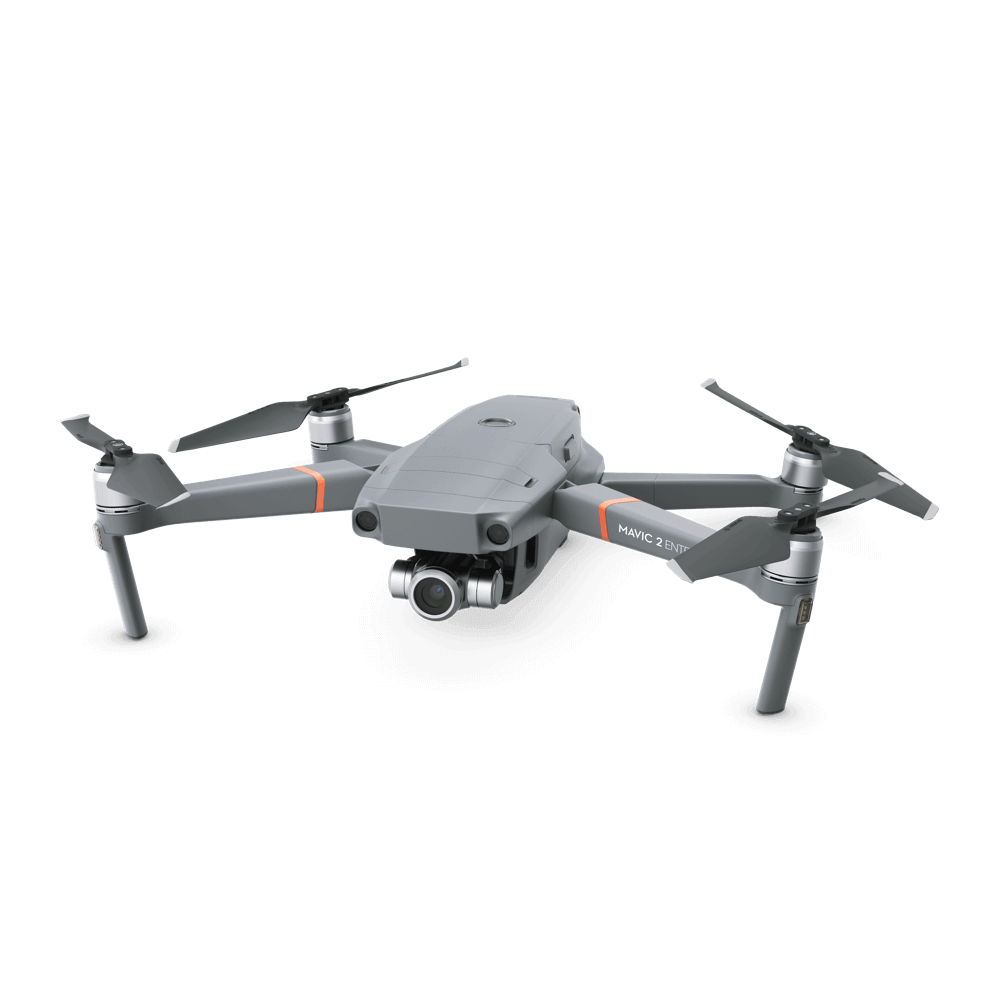
Facility Oversight Tool
Mavic 2 Enterprise Series
Unfold and deploy the ultra-portable enterprise drone platform with the speaker attachment to effectively direct teams on site while sending live feeds back to the command center.
Rapid Mapping Solution
Phantom 4 RTK
An intuitive surveying solution that captures centimeter-level accurate data and creates detailed 2D and 3D models.
Data Collection
Traditional Challenges in Data Collection
Oil and gas construction projects usually span across far distances, making site surveying and general data collection difficult and inefficient with manual tools.
Resource exploration requires a continuous data stream of a large area data, and failure to obtain equipment status in a timely manner may result in inaccurate data.
How Drones Empower Data Collection
Drones are flexible, compact, yet powerful, delivering survey-grade data of large areas efficiently.
Deploy as frequently as needed to monitor equipment status and ensure data accuracy.
Related Products
Versatile Platform
Matrice 300 RTK
A high-performance, rugged drone platform paired with a powerful hybrid camera to empower teams through a streamlined user experience and unparalleled efficiency – all while maintaining the highest standards for safety and reliability.
Heavy Lifting Platform
Matrice 600 Pro
Customize data-collection solutions based on the heavy-lifter drone platform to to collect the specific data for your operaions.
I am text block. Click edit button to change this text.
Adaptable Imaging Platform
Matrice 210 RTK V2
Customize data-collection solutions based on the rugged drone platform to to collect the specific data for your operaions.
Contact us
If you wish to purchase products, please leave your contact information below. We will be in contact with you shortly.