
Production and Refinery Management
Drone-powered routine inspections and safety monitoring improve efficiency without halting operations or compromising personnel safety.
Facility and Utility Equipment Management
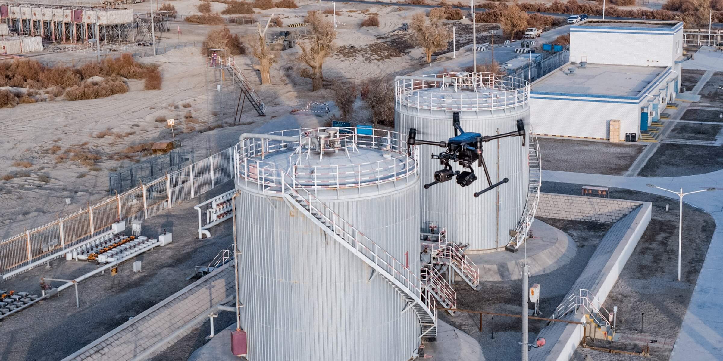
Rapidly and remotely inspect, map, and monitor facilities such as flare stacks and cooling towers from the ground without stopping operations.
Leak Detection and Repair (LDAR)
Identify leakages quickly and accurately using drones equipped with specialized sensors, keeping personnel safe and enabling timely decision making.
Safety and Security
Conduct regular facility patrols and routine safety inspections with automated drone flights, documenting key findings and critical issues seamlessly.
Asset Digitization
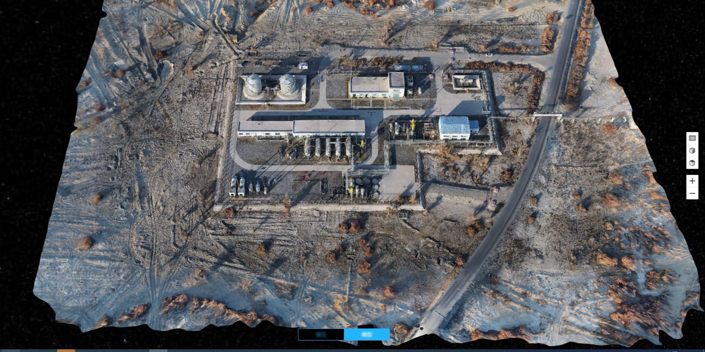
Build high-definition 2D maps and 3D models of facilities and vertical structures using survey-grade drones, illustrating inspection results digitally.
Traditional Challenges in Facility and Utility Equipment Management
Operations often need to be halted to address issues in the facility or conduct inspections, which would result in value loss.
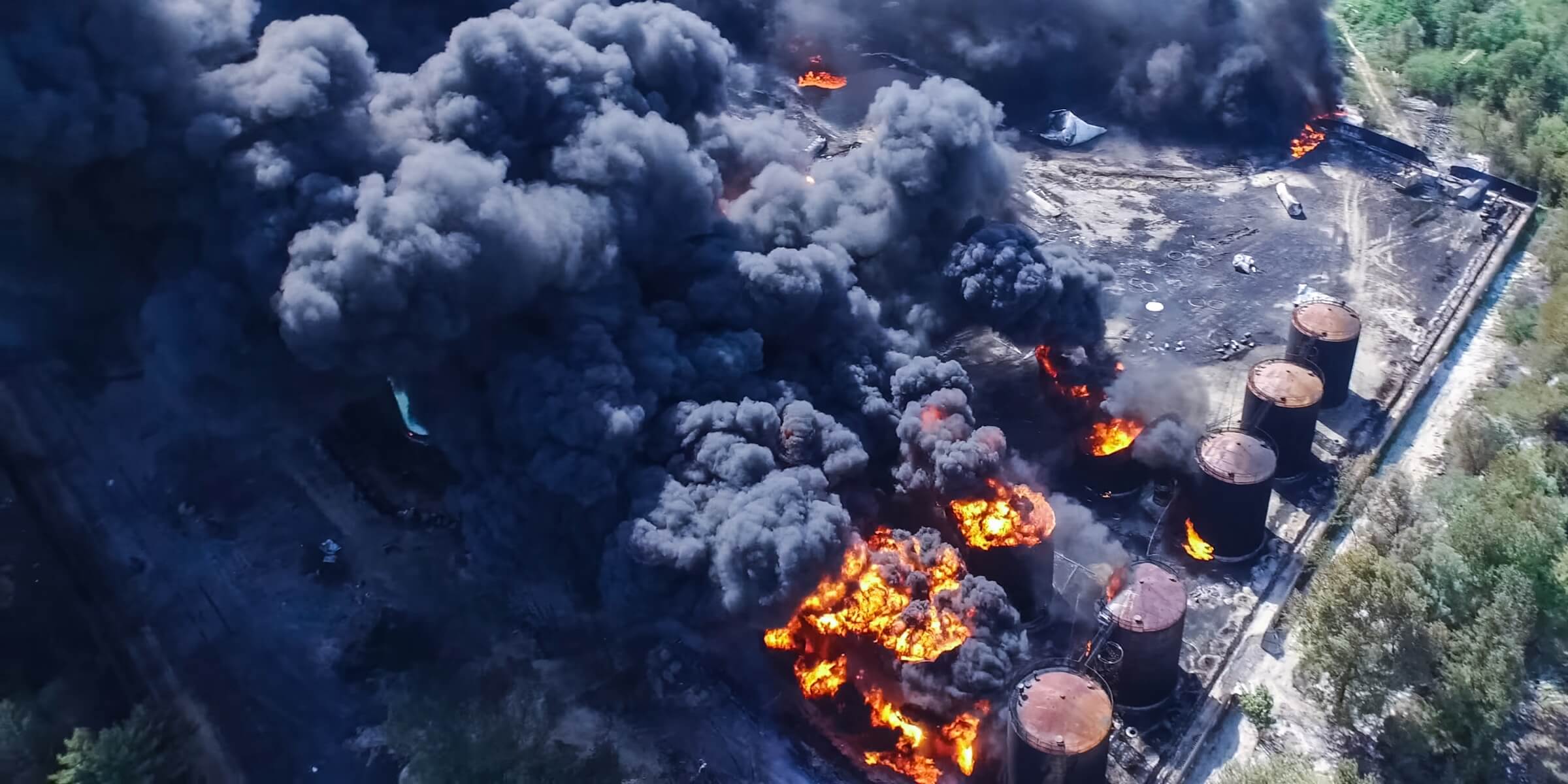
Flare stacks, oil tanks, and cooling towers are hazardous sites for inspection personnel.
Long manhours are required to cover larger sites. Limitations in handheld tools, data collection could be incomplete.
How Drones Elevate Facility Management
Deploy to inspect complex structures while keeping operations running, addressing issues with minimal value loss.
Gain comprehensive overviews of the whole site, including all parts of high-rising structures, without risking the lives of personnel.
Digitize inspection results for coordinated response, recordkeeping, and streamlined project management.
Related Products
Versatile Platform
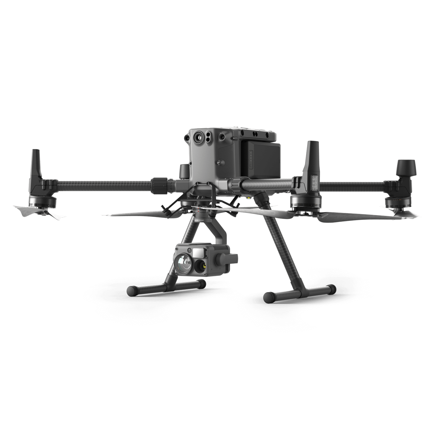
Matrice 300 RTK
A high-performance, rugged drone platform paired with a powerful hybrid camera to empower teams through a streamlined user experience and unparalleled efficiency – all while maintaining the highest standards for safety and reliability.
Facility Overview Platform
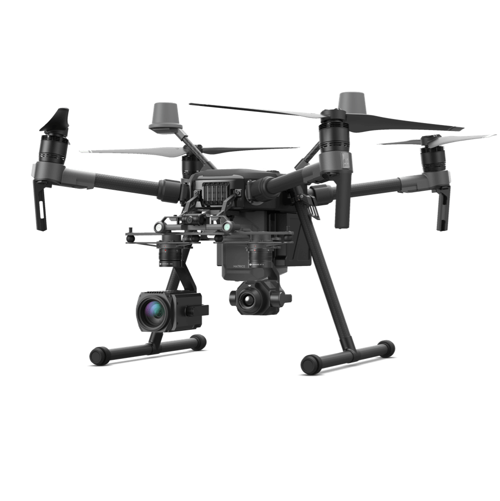
Matrice 210 RTK V2
Gain a wholistic aerial overview while capturing details to effectively manage facilities.
Facility Mapping Tool
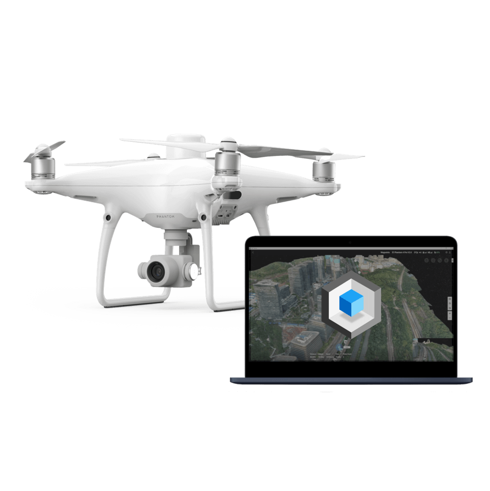
Phantom 4 RTK
An intuitive surveying solution that captures centimeter-level accurate data and create georeferenced 2D maps and 3D models.
Leak Detection and Repair (LDAR)

Traditional Challenges in LDAR
Personnel could be exposed to toxic gases during a leak investigation. Traditional tools are unable to identify the full scope of the leak.
Operations often need to be halted to address issues in the facility or conduct inspections, which would result in value loss.
Specialized detection equipment is expensive and hard to manoeuver and operate.
How Drones Help with LDAR
Cover large areas in a few drone flights to efficiently test for leakages and determine the scope of the leak.
Significantly reduce costs in detection equipment procurement by using nimble payload gas detectors on drones.
Digitized live streams of detection progress help teams visualize the leak and quickly act to address it.
Related Products
Versatile Platform
Matrice 300 RTK
A high-performance, rugged drone platform paired with a powerful hybrid camera to empower teams through a streamlined user experience and unparalleled efficiency – all while maintaining the highest standards for safety and reliability.
Methane Leak Detection Platform
Matrice 210 RTK V2
Identify methane gas leaks while capturing details on site conditions from the air.
Safety and Security
Traditional Challenges in Maintaining Safety and Security
Incidents are often extremely dangerous, response teams may not be able to be onsite immediately due to a lack of situational overview.
Stationary security cameras and personnel patrols could leave areas of the site unaccounted for, while dispatching patrol teams frequently could be expensive.
Intruders and illegally deployed drones could go undetected using tradtional methods.
How Drones Maintain Safety and Security
Deploy to gain an immediate overview of the site, providing a live-feed back to the command center, enabling response teams to safely and efficiently manage the emergency.
Drone-powered patrols deliver a complete coverage of the site, improving inspection efficiency and cost-effectiveness.
Detect intruder drones and assist police investigations using Aeroscope.
Versatile Platform
Matrice 300 RTK
A high-performance, rugged drone platform paired with a powerful hybrid camera to empower teams through a streamlined user experience and unparalleled efficiency – all while maintaining the highest standards for safety and reliability.
Airspace Monitoring
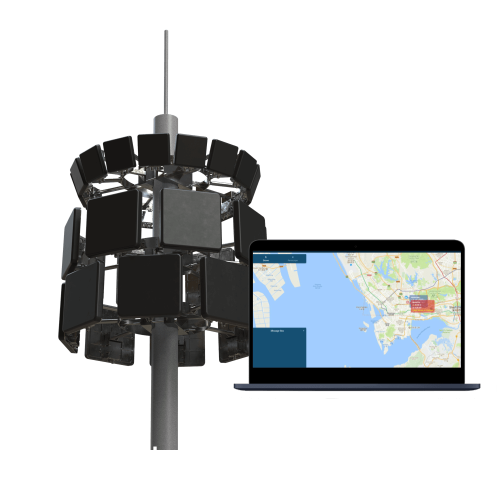
DJI AeroScope
Detect intruder drones and assist police investigations using DJI’s secure drone detection platform.
Facility Oversite Tool
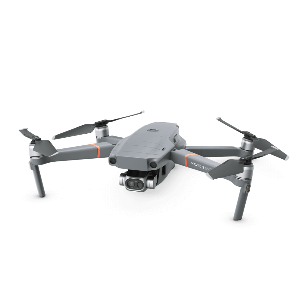
Mavic 2 Enterprise Series
Gain situational overview or conduct routine thermal inspections that can be live-fed back to the command center.
Asset Digitization
Traditional Challenges in Digitizing Assets
The lack of visual data and precise asset models makes it difficult to automate inspection and maintenance.
Traditional inspection reports could involve multiple teams, are therefore hard to compile and visualize digitally.
Site inspection and survey data are considered sensitive information that needs to be stored locally while meeting specific data security requirements.
How Drones Digitize Assets
Significantly reduce operational costs by creating 2D and 3D models to digitize assets, enabling automated site management and maintanence.
Deploy drones to reduce or eliminate human entry into hazardous spaces.
Prevent risks and improve efficiency by visualizing inspection results while storing data locally.
Related Products
Versatile Platform
Matrice 300 RTK
A high-performance, rugged drone platform paired with a powerful hybrid camera to empower teams through a streamlined user experience and unparalleled efficiency – all while maintaining the highest standards for safety and reliability.
Digital Modeling Platform
Matrice 210 RTK V2
Survey-grade data collected using the rugged drone platform and high-resolution sensor can be used to create detailed models.
Rapid and Accurate Mapping Tool
Phantom 4 RTK
Create accurate digital versions of assets using this centimeter-level accurate surveying solution.
Contact us
If you wish to purchase products, please leave your contact information below. We will be in contact with you shortly.