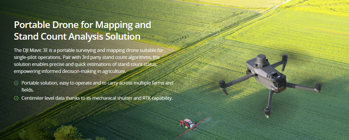
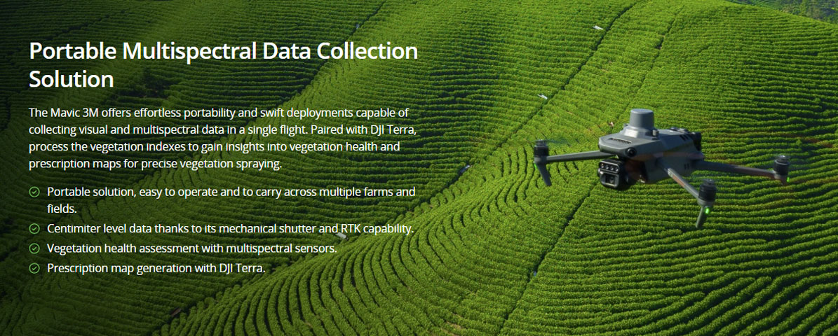
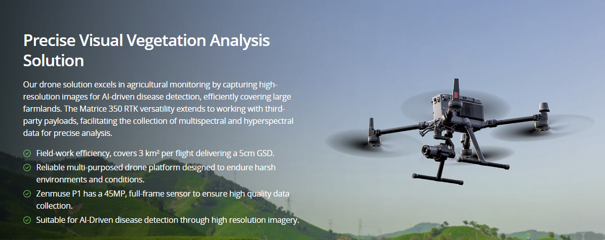
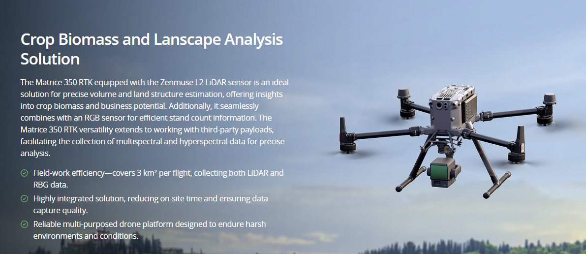
Precision Agriculture

Streamline data sampling with timely drone-based collection methods; optimizing crop management and effective disease control.

Painpoints

  • It’s difficult to accurately locate the crop areas that need attention without geotaged data.
  • Manual samplings are lengthy and labor consuming, thus reducing the possible sampling frequency.
  • Traditional crop evaluation methods rely on observation with limited data analysis.
  • Limited visibility of the crop field overall health.

Advantages

  • Evaluate health and prevent diseases of each invidual crop with georeference data collection.
  • Increase data sampling frequency with fast aerial data collection.
  • Access a variety of data including RGB images, multispectral, thermal, and LiDAR data.
  • Cover larger areas in a single flight.

Solution

Contact us

If you wish to purchase products, please leave your contact information below. We will be in contact with you shortly.