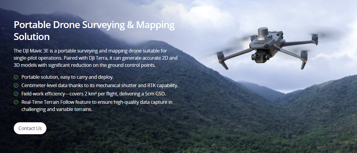
Land Survey

Quickly generate accurate 2D and 3D models. Cover more ground, improve safety, and reduce costs.

Painpoints

  • Field work is slow and inefficient using traditional surveying methods, increasing operational costs and on-site time requirements.
  • Traditional Surveying outputs lack visual references or low resolution, leading to a limited perspective of the landscape.
  • Collecting usable data in complex and remote areas is difficult and hazardous.
  • Frequently tracking landscape changes is inefficient with traditional methods.

Advantages

  • Significantly reduce costs and save time by using affordable UAS solutions that automate data collection and processing.
  • Visualize results with accurate, high-resolution maps, Point Clouds, and 3D models.
  • Reduce personnel risk in hazardous environments with switly aerial data collection.
  • Keep digital records that can be easily used for regular land cover comparisons, so teams can more easily and dynamically monitor changes.

Contact us

If you wish to purchase products, please leave your contact information below. We will be in contact with you shortly.